WSentinel capture software creates 3 primary event files; composite jpg, video(.mp4), and a spreadsheet(.csv) which contains a timehistory of energy, azimuth/elevation, and pixel mapping for the event as seen from the camera location: (see Spreadsheet Column Definitions here).
NOTE: The az/el data in the spreadsheet are approximations and offline calibration is required for refined assessments. Refined calibrations require use of the nightly composites which are available via the link on the right side of this page.
If you don't see an event, or you are looking for data over 30 days old, please contact us at: 
Node Events (last 30 days)
|
|
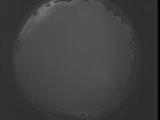
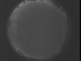
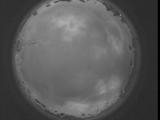
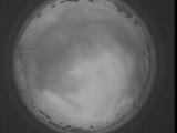
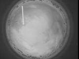
Date: September 5 2025
Time: 00:43:40.595 UTC
|
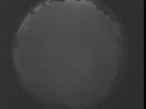
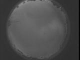
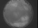
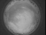
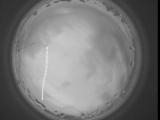
Date: September 5 2025
Time: 00:38:12.986 UTC
|

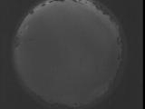
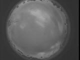
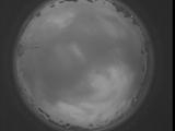
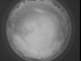
Date: September 5 2025
Time: 00:32:45.436 UTC
|
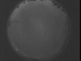
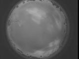
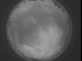
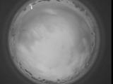
Date: September 5 2025
Time: 00:27:17.827 UTC
|
Date: September 5 2025
Time: 00:21:50.277 UTC
|
Date: September 5 2025
Time: 00:16:22.667 UTC
|
Date: September 5 2025
Time: 00:10:55.118 UTC
|
Date: September 5 2025
Time: 00:06:41.578 UTC
|
Date: September 5 2025
Time: 00:06:08.118 UTC
|
Date: September 5 2025
Time: 00:05:34.648 UTC
|
Date: September 5 2025
Time: 00:05:01.188 UTC
|
Date: September 5 2025
Time: 00:04:27.718 UTC
|
Date: September 5 2025
Time: 00:03:54.258 UTC
|
Date: September 5 2025
Time: 00:03:20.788 UTC
|
Date: September 5 2025
Time: 00:02:47.328 UTC
|
Date: September 5 2025
Time: 00:02:13.858 UTC
|
Date: September 5 2025
Time: 00:01:40.399 UTC
|
Date: September 5 2025
Time: 00:01:06.928 UTC
|
Date: September 5 2025
Time: 00:00:33.468 UTC
|
Date: September 4 2025
Time: 23:59:59.998 UTC
|
|
