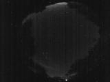
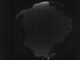
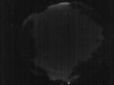
WSentinel capture software creates 3 primary event files; composite jpg, video(.mp4), and a spreadsheet(.csv) which contains a timehistory of energy, azimuth/elevation, and pixel mapping for the event as seen from the camera location: (see Spreadsheet Column Definitions here).
NOTE: The az/el data in the spreadsheet are approximations and offline calibration is required for refined assessments. Refined calibrations require use of the nightly composites which are available via the link on the right side of this page.
If you don't see an event, or you are looking for data over 10 days old, please contact us at: 
Node Events (last 30 days)
|
|
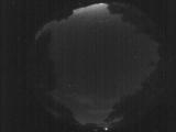
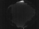
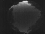
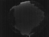
Date: June 15 2026
Time: 08:57:51.362 UTC
|
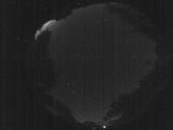
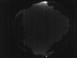
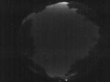
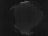
Date: June 15 2026
Time: 08:51:29.229 UTC
|
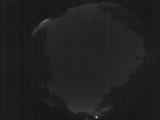
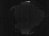
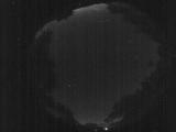
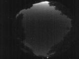
Date: June 15 2026
Time: 08:45:34.896 UTC
|
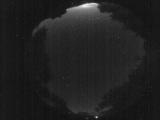
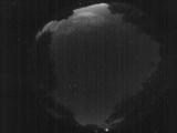
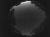
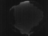
Date: June 15 2026
Time: 08:39:49.734 UTC
|
Date: June 15 2026
Time: 08:35:25.710 UTC
|
Date: June 15 2026
Time: 08:29:27.607 UTC
|
Date: June 15 2026
Time: 08:26:09.451 UTC
|
Date: June 15 2026
Time: 08:19:23.159 UTC
|
Date: June 15 2026
Time: 08:14:54.834 UTC
|
Date: June 15 2026
Time: 08:07:18.772 UTC
|
Date: June 15 2026
Time: 08:01:52.487 UTC
|

Date: June 15 2026
Time: 07:58:17.911 UTC
|
Date: June 15 2026
Time: 07:57:13.52 UTC
|
Date: June 15 2026
Time: 07:54:36.475 UTC
|
Date: June 15 2026
Time: 07:53:38.685 UTC
|
Date: June 15 2026
Time: 07:53:07.556 UTC
|
Date: June 15 2026
Time: 07:48:44.100 UTC
|
Date: June 15 2026
Time: 07:46:50.722 UTC
|
Date: June 15 2026
Time: 07:46:02.273 UTC
|
Date: June 15 2026
Time: 07:45:16.134 UTC
|
|
