WSentinel capture software creates 3 primary event files; composite jpg, video(.mp4), and a spreadsheet(.csv) which contains a timehistory of energy, azimuth/elevation, and pixel mapping for the event as seen from the camera location: (see Spreadsheet Column Definitions here).
NOTE: The az/el data in the spreadsheet are approximations and offline calibration is required for refined assessments. Refined calibrations require use of the nightly composites which are available via the link on the right side of this page.
If you don't see an event, or you are looking for data over 10 days old, please contact us at: 
Node Events (last 30 days)
|
|
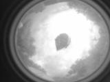
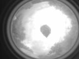
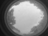
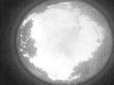
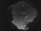
Date: May 26 2026
Time: 00:10:50.225 UTC
|
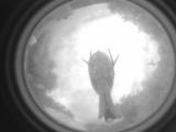
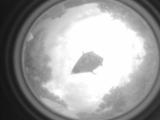
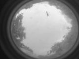
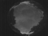
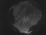
Date: May 26 2026
Time: 00:10:47.915 UTC
|
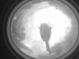
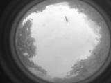
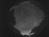
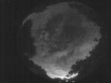
Date: May 26 2026
Time: 00:10:45.285 UTC
|
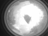
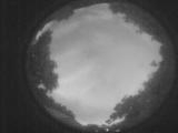
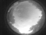
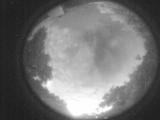
Date: May 26 2026
Time: 00:10:41.946 UTC
|
Date: May 26 2026
Time: 00:10:38.975 UTC
|
Date: May 26 2026
Time: 00:10:35.505 UTC
|
Date: May 26 2026
Time: 00:10:33.675 UTC
|
Date: May 25 2026
Time: 23:01:50.197 UTC
|
Date: May 25 2026
Time: 10:54:41.968 UTC
|
Date: May 25 2026
Time: 10:54:26.118 UTC
|
Date: May 25 2026
Time: 10:54:18.578 UTC
|
Date: May 25 2026
Time: 10:03:42.308 UTC
|
Date: May 25 2026
Time: 09:58:32.14 UTC
|
Date: May 25 2026
Time: 09:51:31.943 UTC
|
Date: May 25 2026
Time: 09:46:54.518 UTC
|
Date: May 25 2026
Time: 09:41:12.554 UTC
|
Date: May 25 2026
Time: 09:34:51.121 UTC
|
Date: May 25 2026
Time: 09:29:41.28 UTC
|
Date: May 25 2026
Time: 09:24:26.224 UTC
|
Date: May 25 2026
Time: 09:19:04.21 UTC
|
|
