WSentinel capture software creates 3 primary event files; composite jpg, video(.mp4), and a spreadsheet(.csv) which contains a timehistory of energy, azimuth/elevation, and pixel mapping for the event as seen from the camera location: (see Spreadsheet Column Definitions here).
NOTE: The az/el data in the spreadsheet are approximations and offline calibration is required for refined assessments. Refined calibrations require use of the nightly composites which are available via the link on the right side of this page.
If you don't see an event, or you are looking for data over 10 days old, please contact us at: 
Node Events (last 30 days)
|
|
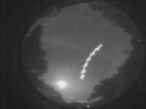
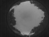
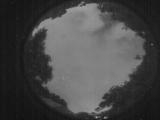
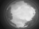
Date: May 29 2026
Time: 02:15:11.555 UTC
|
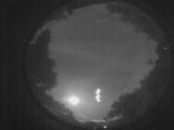
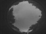
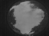
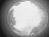
Date: May 29 2026
Time: 02:15:08.756 UTC
|
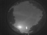
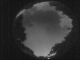
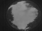
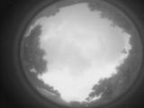
Date: May 29 2026
Time: 02:15:06.386 UTC
|
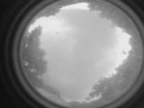
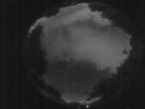
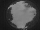
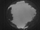
Date: May 28 2026
Time: 23:50:32.361 UTC
|
Date: May 28 2026
Time: 09:28:55.108 UTC
|
Date: May 28 2026
Time: 09:15:53.626 UTC
|

Date: May 28 2026
Time: 08:54:04.611 UTC
|
Date: May 28 2026
Time: 08:53:53.0 UTC
|
Date: May 28 2026
Time: 08:10:04.53 UTC
|

Date: May 28 2026
Time: 02:30:54.951 UTC
|
Date: May 28 2026
Time: 02:30:50.411 UTC
|

Date: May 28 2026
Time: 02:30:41.470 UTC
|

Date: May 28 2026
Time: 02:30:15.281 UTC
|
Date: May 28 2026
Time: 02:29:52.861 UTC
|
Date: May 28 2026
Time: 02:29:48.221 UTC
|
Date: May 28 2026
Time: 02:29:45.922 UTC
|
Date: May 27 2026
Time: 10:32:40.693 UTC
|
Date: May 27 2026
Time: 10:27:43.940 UTC
|
Date: May 27 2026
Time: 10:23:13.585 UTC
|
Date: May 27 2026
Time: 09:48:48.576 UTC
|
|
