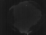
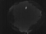
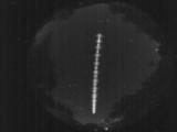
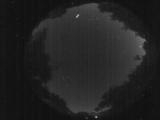
WSentinel capture software creates 3 primary event files; composite jpg, video(.mp4), and a spreadsheet(.csv) which contains a timehistory of energy, azimuth/elevation, and pixel mapping for the event as seen from the camera location: (see Spreadsheet Column Definitions here).
NOTE: The az/el data in the spreadsheet are approximations and offline calibration is required for refined assessments. Refined calibrations require use of the nightly composites which are available via the link on the right side of this page.
If you don't see an event, or you are looking for data over 10 days old, please contact us at: 
Node Events (last 30 days)
|
|
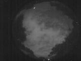
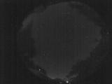
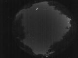
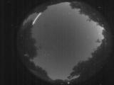
Date: June 14 2026
Time: 02:35:40.431 UTC
|
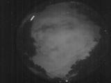
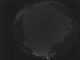
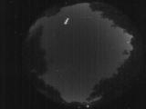
Date: June 14 2026
Time: 02:23:48.685 UTC
|

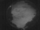
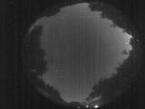
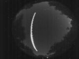
Date: June 14 2026
Time: 02:15:25.274 UTC
|
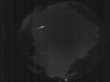
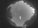
Date: June 14 2026
Time: 02:15:22.433 UTC
|
Date: June 13 2026
Time: 07:40:48.51 UTC
|
Date: June 13 2026
Time: 02:56:13.303 UTC
|
Date: June 13 2026
Time: 02:56:06.663 UTC
|
Date: June 13 2026
Time: 01:39:25.530 UTC
|
Date: June 13 2026
Time: 01:32:41.746 UTC
|
Date: June 12 2026
Time: 07:58:39.625 UTC
|
Date: June 12 2026
Time: 01:55:23.9 UTC
|
Date: June 12 2026
Time: 01:55:03.319 UTC
|

Date: June 12 2026
Time: 01:43:32.933 UTC
|
Date: June 12 2026
Time: 01:43:30.722 UTC
|
Date: June 12 2026
Time: 01:43:28.562 UTC
|
Date: June 12 2026
Time: 01:43:25.822 UTC
|
Date: June 12 2026
Time: 01:43:01.233 UTC
|
Date: June 12 2026
Time: 01:36:25.250 UTC
|

Date: June 12 2026
Time: 01:36:22.20 UTC
|
Date: June 12 2026
Time: 01:36:04.370 UTC
|
|
