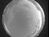
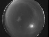
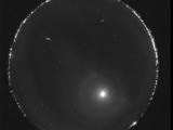
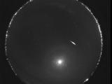
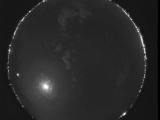
NMSU-1, Las Cruces, NM (32.281, -106.754, 724m) Map Popup Composites
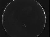
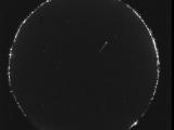
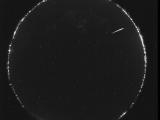
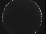
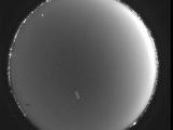
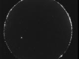
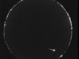
WSentinel capture software creates 3 primary event files; composite jpg, video(.mp4), and a spreadsheet(.csv) which contains a timehistory of energy, azimuth/elevation, and pixel mapping for the event as seen from the camera location: (see Spreadsheet Column Definitions here).
NOTE: The az/el data in the spreadsheet are approximations and offline calibration is required for refined assessments. Refined calibrations require use of the nightly composites which are available via the link on the right side of this page.
If you don't see an event, or you are looking for data over 30 days old, please contact us at:
NMSU-1, Las Cruces, NM (32.281, -106.754, 724m)
Cluster:
Southern New Mexico
Overlaps:
|
|