Spalding Allsky Obs, Mountain View High, CA (37.3600, -122.0700, 60m) Node 17 Map Popup
Composites
WSentinel capture software creates 3 primary event files; composite jpg, video(.mp4), and a spreadsheet(.csv) which contains a timehistory of energy, azimuth/elevation, and pixel mapping for the event as seen from the camera location: (see Spreadsheet Column Definitions here).
NOTE: The az/el data in the spreadsheet are approximations and offline calibration is required for refined assessments. Refined calibrations require use of the nightly composites which are available via the link on the right side of this page.
If you don't see an event, or you are looking for data over 30 days old, please contact us at: 
Node Events (last 30 days)
|
|
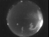
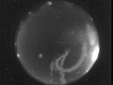
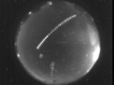
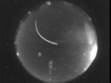
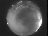
Date: September 21 2025
Time: 07:22:50.531 UTC
|
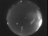
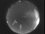
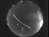
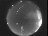
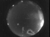
Date: September 21 2025
Time: 07:22:44.660 UTC
|
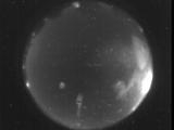
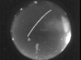
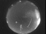
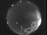
Date: September 21 2025
Time: 07:22:36.351 UTC
|
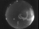
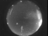
Date: September 21 2025
Time: 06:14:19.562 UTC
|
Date: September 21 2025
Time: 06:13:38.792 UTC
|
Date: September 21 2025
Time: 04:07:45.952 UTC
|
Date: September 21 2025
Time: 04:07:12.481 UTC
|
Date: September 21 2025
Time: 03:31:29.50 UTC
|
Date: September 20 2025
Time: 05:54:55.14 UTC
|
Date: September 20 2025
Time: 05:18:34.464 UTC
|
Date: September 20 2025
Time: 05:17:42.81 UTC
|
Date: September 20 2025
Time: 04:51:22.757 UTC
|
Date: September 20 2025
Time: 04:47:38.504 UTC
|
Date: September 20 2025
Time: 03:57:15.377 UTC
|
Date: September 20 2025
Time: 03:24:45.798 UTC
|
Date: September 19 2025
Time: 06:01:50.405 UTC
|
Date: September 19 2025
Time: 04:10:53.334 UTC
|
Date: September 18 2025
Time: 10:37:55.646 UTC
|
Date: September 18 2025
Time: 10:35:59.234 UTC
|

Date: September 18 2025
Time: 10:06:15.212 UTC
|
|
