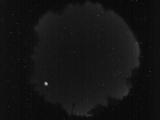
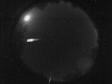
WSentinel capture software creates 3 primary event files; composite jpg, video(.mp4), and a spreadsheet(.csv) which contains a timehistory of energy, azimuth/elevation, and pixel mapping for the event as seen from the camera location: (see Spreadsheet Column Definitions here).
NOTE: The az/el data in the spreadsheet are approximations and offline calibration is required for refined assessments. Refined calibrations require use of the nightly composites which are available via the link on the right side of this page.
If you don't see an event, or you are looking for data over 30 days old, please contact us at: 
Node Events (last 30 days)
|
|

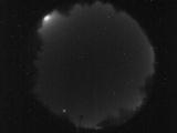
Date: May 3 2024
Time: 06:34:58.118 UTC
|

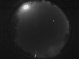
Date: May 2 2024
Time: 08:48:22.911 UTC
|

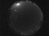
Date: May 2 2024
Time: 08:07:49.924 UTC
|

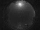
Date: May 2 2024
Time: 04:12:20.780 UTC
|

Date: May 2 2024
Time: 04:11:17.576 UTC
|

Date: May 1 2024
Time: 11:41:00.576 UTC
|

Date: May 1 2024
Time: 05:10:40.553 UTC
|

Date: April 30 2024
Time: 07:47:38.875 UTC
|

Date: April 29 2024
Time: 02:04:50.171 UTC
|

Date: April 27 2024
Time: 04:02:02.622 UTC
|

Date: April 26 2024
Time: 12:47:55.485 UTC
|

Date: April 25 2024
Time: 12:23:15.577 UTC
|

Date: April 23 2024
Time: 11:12:16.755 UTC
|
Date: April 22 2024
Time: 11:45:08.457 UTC
|
Date: April 22 2024
Time: 10:54:40.542 UTC
|
Date: April 22 2024
Time: 10:23:45.387 UTC
|
Date: April 22 2024
Time: 08:38:23.822 UTC
|
Date: April 20 2024
Time: 11:49:16.134 UTC
|
Date: April 20 2024
Time: 10:35:44.979 UTC
|

Date: April 20 2024
Time: 10:30:13.432 UTC
|
|
