WSentinel capture software creates 3 primary event files; composite jpg, video(.mp4), and a spreadsheet(.csv) which contains a timehistory of energy, azimuth/elevation, and pixel mapping for the event as seen from the camera location: (see Spreadsheet Column Definitions here).
NOTE: The az/el data in the spreadsheet are approximations and offline calibration is required for refined assessments. Refined calibrations require use of the nightly composites which are available via the link on the right side of this page.
If you don't see an event, or you are looking for data over 30 days old, please contact us at: 
Node Events (last 30 days)
|
|
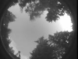
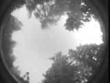
Date: July 2 2025
Time: 04:53:48.557 UTC
|
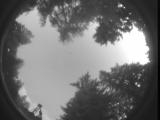
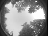
Date: July 2 2025
Time: 04:48:30.827 UTC
|

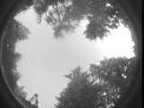
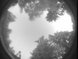
Date: July 2 2025
Time: 04:48:09.777 UTC
|

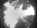
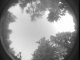
Date: July 2 2025
Time: 04:42:03.598 UTC
|

Date: July 2 2025
Time: 04:41:47.458 UTC
|

Date: July 2 2025
Time: 04:40:43.757 UTC
|
Date: July 2 2025
Time: 04:40:28.847 UTC
|

Date: July 2 2025
Time: 04:38:45.617 UTC
|

Date: July 2 2025
Time: 04:37:14.707 UTC
|

Date: July 2 2025
Time: 04:36:59.17 UTC
|

Date: July 2 2025
Time: 04:36:48.578 UTC
|
Date: July 2 2025
Time: 04:36:35.369 UTC
|

Date: July 2 2025
Time: 04:36:15.51 UTC
|

Date: July 2 2025
Time: 04:35:39.108 UTC
|
Date: July 2 2025
Time: 04:35:17.428 UTC
|
Date: July 2 2025
Time: 04:35:12.460 UTC
|

Date: July 2 2025
Time: 04:34:25.848 UTC
|
Date: July 2 2025
Time: 04:26:27.368 UTC
|

Date: July 2 2025
Time: 04:24:46.807 UTC
|
Date: July 2 2025
Time: 04:24:33.327 UTC
|
|
