WSentinel capture software creates 3 primary event files; composite jpg, video(.mp4), and a spreadsheet(.csv) which contains a timehistory of energy, azimuth/elevation, and pixel mapping for the event as seen from the camera location: (see Spreadsheet Column Definitions here).
NOTE: The az/el data in the spreadsheet are approximations and offline calibration is required for refined assessments. Refined calibrations require use of the nightly composites which are available via the link on the right side of this page.
If you don't see an event, or you are looking for data over 30 days old, please contact us at: 
Node Events (last 30 days)
|
|

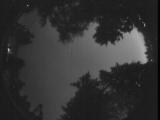
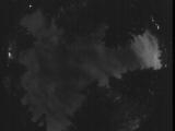
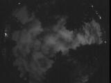
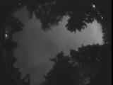
Date: July 3 2025
Time: 08:37:26.320 UTC
|

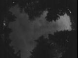
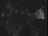
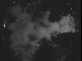
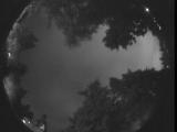
Date: July 3 2025
Time: 08:37:17.561 UTC
|
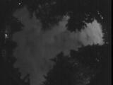
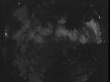
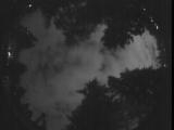
Date: July 3 2025
Time: 08:36:39.360 UTC
|

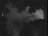
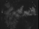
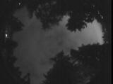
Date: July 3 2025
Time: 08:35:11.978 UTC
|

Date: July 3 2025
Time: 08:34:36.576 UTC
|
Date: July 3 2025
Time: 08:09:31.141 UTC
|
Date: July 3 2025
Time: 08:08:07.688 UTC
|
Date: July 3 2025
Time: 08:00:20.414 UTC
|
Date: July 3 2025
Time: 07:55:45.947 UTC
|
Date: July 3 2025
Time: 07:54:00.712 UTC
|
Date: July 3 2025
Time: 07:47:06.663 UTC
|
Date: July 3 2025
Time: 07:44:26.234 UTC
|
Date: July 3 2025
Time: 07:41:50.408 UTC
|
Date: July 3 2025
Time: 07:33:40.471 UTC
|

Date: July 3 2025
Time: 07:30:22.888 UTC
|
Date: July 3 2025
Time: 07:30:08.333 UTC
|

Date: July 3 2025
Time: 07:20:29.737 UTC
|
Date: July 3 2025
Time: 07:17:33.899 UTC
|
Date: July 3 2025
Time: 07:11:51.204 UTC
|
Date: July 3 2025
Time: 07:08:04.342 UTC
|
|
