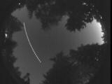
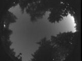
WSentinel capture software creates 3 primary event files; composite jpg, video(.mp4), and a spreadsheet(.csv) which contains a timehistory of energy, azimuth/elevation, and pixel mapping for the event as seen from the camera location: (see Spreadsheet Column Definitions here).
NOTE: The az/el data in the spreadsheet are approximations and offline calibration is required for refined assessments. Refined calibrations require use of the nightly composites which are available via the link on the right side of this page.
If you don't see an event, or you are looking for data over 30 days old, please contact us at: 
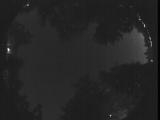
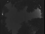
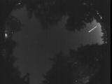
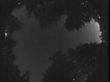
Node Events (last 30 days)
|
|
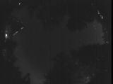
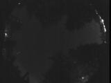
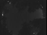
Date: July 4 2025
Time: 06:33:42.10 UTC
|
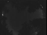
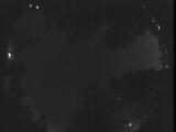
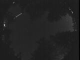
Date: July 4 2025
Time: 06:29:26.566 UTC
|
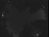
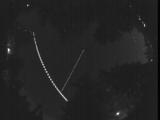
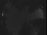
Date: July 4 2025
Time: 06:25:01.450 UTC
|
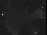
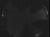
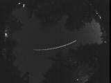
Date: July 4 2025
Time: 06:22:11.247 UTC
|
Date: July 4 2025
Time: 06:16:05.240 UTC
|
Date: July 4 2025
Time: 06:11:34.585 UTC
|
Date: July 4 2025
Time: 06:08:00.641 UTC
|
Date: July 4 2025
Time: 06:07:17.877 UTC
|
Date: July 4 2025
Time: 05:58:23.170 UTC
|
Date: July 4 2025
Time: 05:53:56.785 UTC
|
Date: July 4 2025
Time: 05:49:43.171 UTC
|
Date: July 4 2025
Time: 05:45:15.55 UTC
|
Date: July 4 2025
Time: 05:40:43.300 UTC
|
Date: July 4 2025
Time: 05:36:19.375 UTC
|
Date: July 4 2025
Time: 05:32:40.181 UTC
|
Date: July 4 2025
Time: 05:28:02.276 UTC
|

Date: July 4 2025
Time: 05:23:36.921 UTC
|
Date: July 4 2025
Time: 05:18:46.416 UTC
|
Date: July 4 2025
Time: 05:14:47.833 UTC
|

Date: July 4 2025
Time: 05:14:44.85 UTC
|
|
