WSentinel capture software creates 3 primary event files; composite jpg, video(.mp4), and a spreadsheet(.csv) which contains a timehistory of energy, azimuth/elevation, and pixel mapping for the event as seen from the camera location: (see Spreadsheet Column Definitions here).
NOTE: The az/el data in the spreadsheet are approximations and offline calibration is required for refined assessments. Refined calibrations require use of the nightly composites which are available via the link on the right side of this page.
If you don't see an event, or you are looking for data over 10 days old, please contact us at: 
Node Events (last 30 days)
|
|
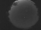
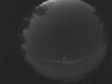
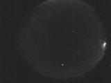
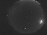
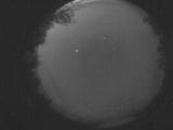
Date: May 26 2026
Time: 10:05:53.824 UTC
|
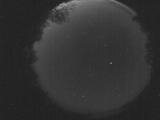
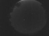
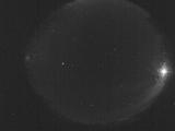
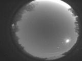
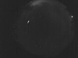
Date: May 26 2026
Time: 10:04:19.397 UTC
|
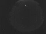
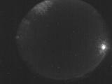
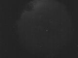
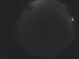
Date: May 25 2026
Time: 04:45:46.54 UTC
|
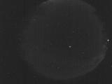
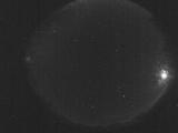
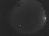
Date: May 24 2026
Time: 10:13:27.504 UTC
|
Date: May 24 2026
Time: 10:02:18.357 UTC
|
Date: May 24 2026
Time: 09:45:55.58 UTC
|
Date: May 24 2026
Time: 09:01:53.53 UTC
|
Date: May 24 2026
Time: 08:23:13.64 UTC
|
Date: May 24 2026
Time: 07:51:05.515 UTC
|
Date: May 24 2026
Time: 07:40:54.476 UTC
|
Date: May 24 2026
Time: 07:27:16.589 UTC
|
Date: May 24 2026
Time: 07:23:35.81 UTC
|
Date: May 24 2026
Time: 06:37:46.217 UTC
|
Date: May 24 2026
Time: 05:48:44.281 UTC
|
Date: May 23 2026
Time: 09:03:46.517 UTC
|
Date: May 23 2026
Time: 07:04:59.291 UTC
|
Date: May 22 2026
Time: 10:25:49.621 UTC
|

Date: May 21 2026
Time: 08:41:34.565 UTC
|
Date: May 21 2026
Time: 07:07:58.145 UTC
|
Date: May 21 2026
Time: 06:39:57.438 UTC
|
|
