WSentinel capture software creates 3 primary event files; composite jpg, video(.mp4), and a spreadsheet(.csv) which contains a timehistory of energy, azimuth/elevation, and pixel mapping for the event as seen from the camera location: (see Spreadsheet Column Definitions here).
NOTE: The az/el data in the spreadsheet are approximations and offline calibration is required for refined assessments. Refined calibrations require use of the nightly composites which are available via the link on the right side of this page.
If you don't see an event, or you are looking for data over 30 days old, please contact us at: 
Node Events (last 30 days)
|
|
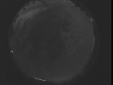
Date: May 4 2024
Time: 07:07:11.811 UTC
|
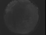
Date: May 4 2024
Time: 07:01:44.271 UTC
|
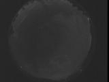
Date: May 4 2024
Time: 06:56:16.671 UTC
|
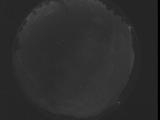
Date: May 4 2024
Time: 06:50:49.131 UTC
|
Date: May 4 2024
Time: 06:45:21.532 UTC
|
Date: May 4 2024
Time: 06:39:53.992 UTC
|
Date: May 4 2024
Time: 06:34:26.392 UTC
|
Date: May 4 2024
Time: 06:28:58.852 UTC
|
Date: May 4 2024
Time: 06:23:31.252 UTC
|
Date: May 4 2024
Time: 06:18:03.712 UTC
|
Date: May 4 2024
Time: 06:12:36.112 UTC
|
Date: May 4 2024
Time: 06:07:08.572 UTC
|
Date: May 4 2024
Time: 06:01:40.972 UTC
|
Date: May 4 2024
Time: 05:56:13.432 UTC
|
Date: May 4 2024
Time: 05:50:45.832 UTC
|
Date: May 4 2024
Time: 05:45:18.292 UTC
|
Date: May 4 2024
Time: 05:39:50.683 UTC
|
Date: May 4 2024
Time: 05:34:23.152 UTC
|
Date: May 4 2024
Time: 05:28:55.542 UTC
|
Date: May 4 2024
Time: 05:23:28.12 UTC
|
|
